

Success Story of UPSC CSE 2025- Results Out
Success Story of UPSC CSE 2025- Results Out Table of Contents Success Story of UPSC CSE 2025- Results Out The
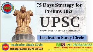
ISC- 75 Days Strategy for UPSC 2026 Prelims
ISC- 75 Days Strategy for UPSC 2026 Prelims “Start your Preparation with ISC” Table of Contents ISC- 75 Days Strategy
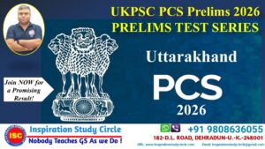
UKPSC- PCS 2026 Prelims Test Series
UKPSC- PCS 2026 Prelims Test Series Table of Contents UKPSC- PCS 2026 Prelims Test Series The Uttar Pradesh Provincial Civil
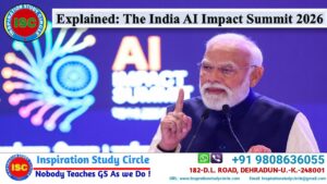
Explained: India AI Impact Summit 2026
Explained: India AI Impact Summit 2026 Table of Contents India AI Impact Summit 2026 India AI Impact Summit 2026 The India
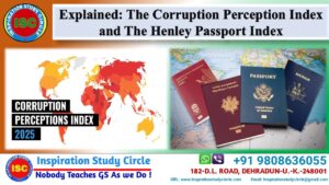
The Corruption Perceptions Index, and The Henley Passport Index
The Corruption Perceptions Index, and The Henley Passport Index Table of Contents The Corruption Perceptions Index, and The Henley Passport

India- USA Interim Trade Agreement (2026)
India- USA Interim Trade Agreement (2026) Table of Contents India- USA Interim Trade Agreement (2026) In early February 2026, India and